Auntri
Trusted Company
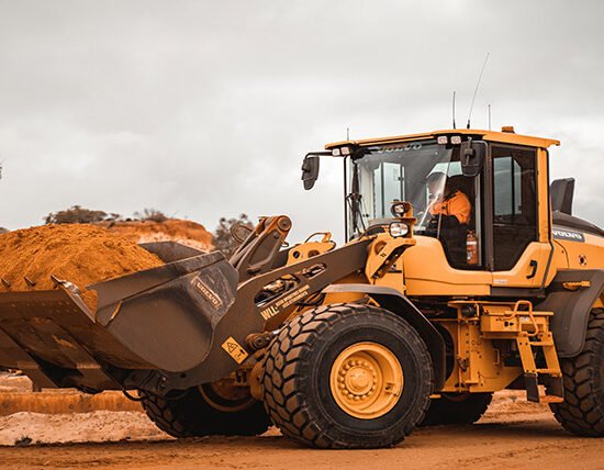
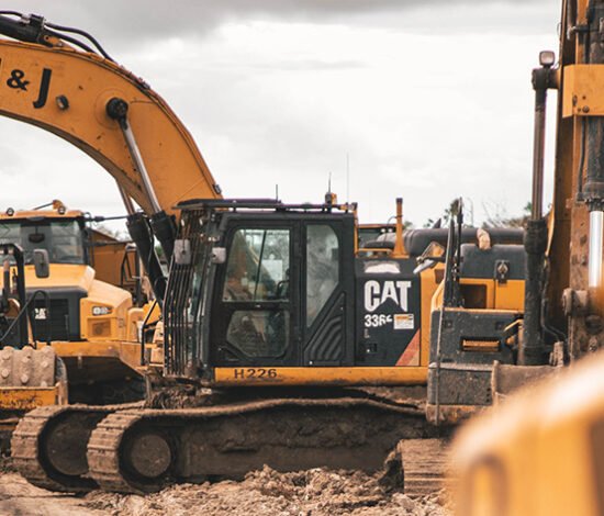
Roadway BIM Services
Modeling for AMG
Photogrammetric and LiDAR data processing