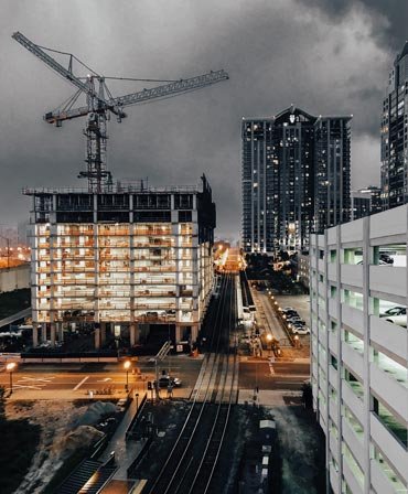
3D Laser Scanning Post Processing
3D Laser Scanning Post Processing involves cleaning, registering, aligning, and georeferencing point clouds captured with terrestrial laser scanners. This process transforms raw data into accurate models that faithfully represent existing physical conditions. The data is optimized for use in BIM, reverse engineering, or construction documentation. It includes clash detection, orthophoto generation, and section extraction. This service is essential for delivering reliable data in infrastructure, architectural, and industrial projects


